Plate 011572
The world in an oval
A decorative world atlas plate reflecting the geography known and imagined in the sixteenth century.
Spain ignored the lessons of history and Cardinal Cisneros.
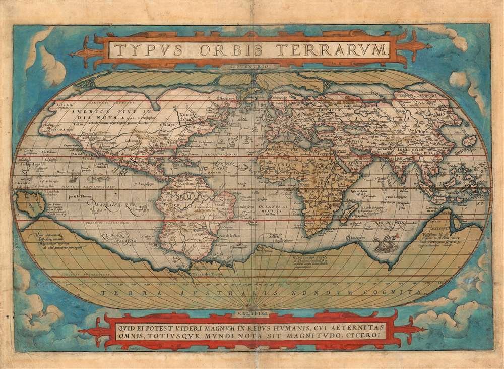
Period lettering, engraved coastlines and richly ornamented borders. Select a map to examine the original scan.
A decorative world atlas plate reflecting the geography known and imagined in the sixteenth century.
An ornate Pacific map with a sailing ship and elaborate cartouches. A portrait of the ocean, rather than a plotted trade route.
Spain, Portugal and the adjoining North African coast, framed by a royal coat of arms and maritime ornament.
An original Pacific chart recording Spanish galleon routes between Acapulco and Manila.
“Non nobis, Domine, non nobis,
sed nomini tuo da gloriam.”“Not unto us, O Lord, not unto us, but to thy name give the glory.”
Historically attributed to Cisneros after the Spanish conquest of Orán, 1509.
A verse from Psalm 115:1 (113:9 in Vulgate numbering), reported as recited by the cardinal in later historical accounts.
The fall of Granada and the conquest of Orán belong to different episodes of Spanish history. The first ended Muslim sovereign rule in Iberia; the second extended Spanish power onto the North African coast.
Cisneros supported and helped finance the Orán expedition under King Ferdinand. Its military operations were led by Pedro Navarro. The later galleon network connected Spain’s overseas territories across the Atlantic and Pacific.
Granada surrendered to Ferdinand and Isabella, bringing the Reconquista to its conclusion.
Spanish forces captured Orán in present-day Algeria, with the support of Cardinal Cisneros and King Ferdinand.
The Manila–Acapulco galleon route began linking the Philippines with New Spain.
The Seale chart published with Anson’s voyage recorded the Pacific routes used by Spanish galleons.
The maps are scans of antique works from different dates and collections. The Iberian map depicts historical geography; it does not plot the Reconquista or Cisneros’s campaigns.
October reporting examines the end of the UK–France pilot scheme, disruption of smuggling networks and the continuing political debate.
Read article ↗Lower reported arrivals on the Canary route coexist with reception pressures in Ceuta and renewed questions over cooperation with Morocco.
Read article ↗The end of the bilateral UK pilot raises questions over costs, effectiveness and the distribution of responsibility across Europe.
Read article ↗Send an enquiry about the atlas, its history or your interests. Required fields are marked *.
